Source: Office for National Statistics; University College London.
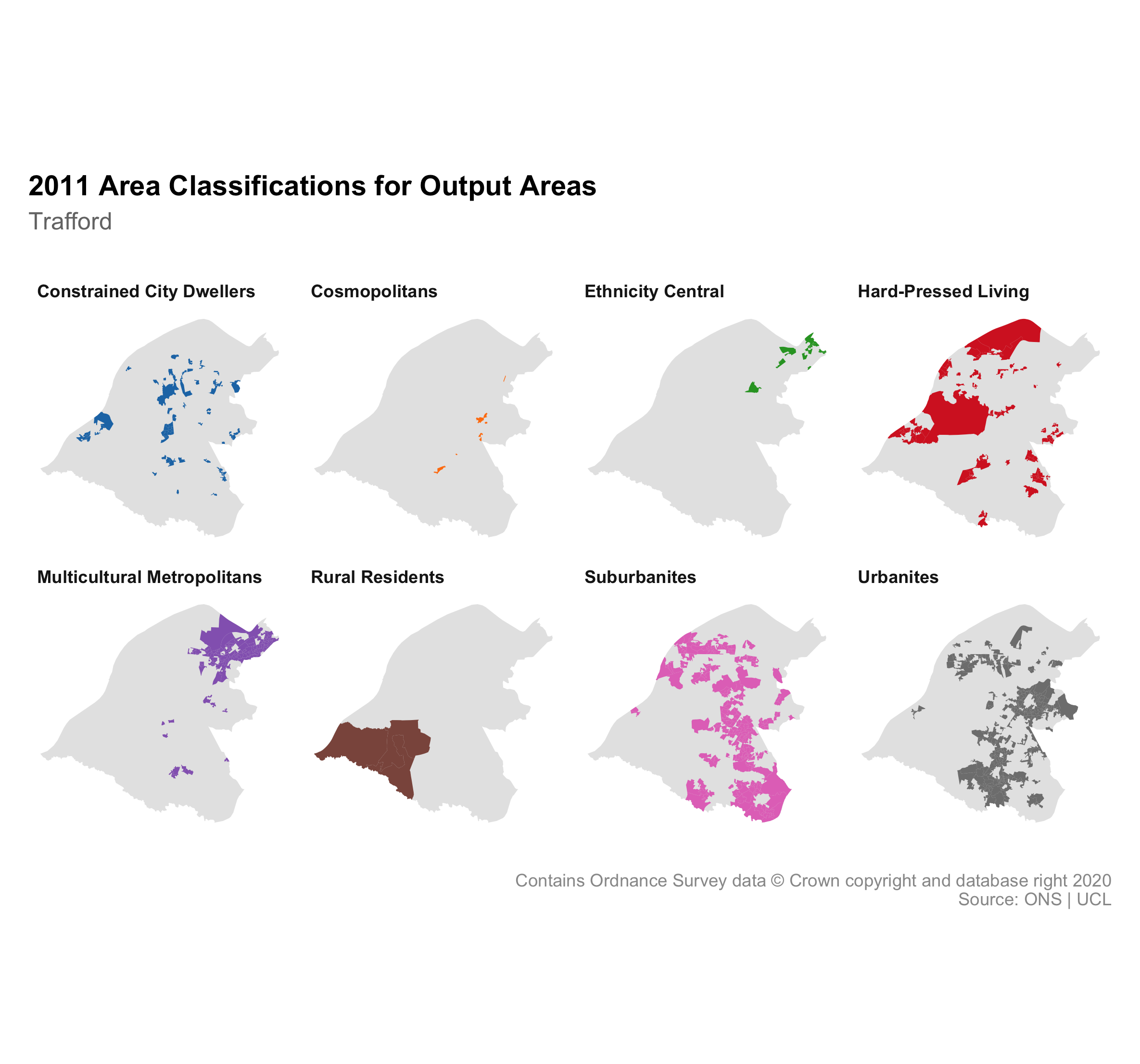
The Output Area Classification is an open source geodemographic classification that uses the 2011 Census to group the UK's Output Areas. The classification contains 3 levels: supergroup, group and subgroup. The supergroups are:
Constrained City Dwellers
Cosmopolitans
Ethnicity Central
Hard-Pressed Living
Multicultural Metropolitans
Rural Residents
Suburbanites
Urbanites
The graphic visualises the 8 supergroups showing a small map of Trafford for each with the output areas belonging to each supergroup highlighted. Explore the pen portraits and radial plots for information about the classifications.